THE 'S' CURVES

First, some housekeeping stuff. I've had a couple of subscribers ask if they post comments or questions on my weblog. The answer is not yet but I am working on making this happen. In the meantime, I would encourage you to respond to my blog by emailing me at mays@ci.cannon-beach.or.us.
Today, I'd like to discuss a topic that I'm sure is of interest to most everyone who is reading this - the situation with the 'S' Curves. As you know, they have been closed since January 10th so what follows is a summary to let you know what the city is doing about the current situation. Now, I'm not an engineer so I will attempt to communicate in layman's terms. Like many of you, I don't understand technical jargon related to things like water level fluctuations or vertical displacement or inclinometers. So, here goes:
Simply put, a landslide is caused by one or both of two counter-balancing factors - an increase in a driving force (like a rising water table) or a decrease or erosion of a resisting force (like some kind of stabilization at the foot of a hill). The problem with the 'S' curves is both. All the rain has caused the water table to rise (the driving force) by 15 or 20 feet which can have the effect of weakening the soil on a hill with any kind of significant slope. On the other hand, higher sea levels have allowed waves to wash away part of the upper portions of the beach just below the hill (the resisting force) thus reducing the counter-balancing mass of sand at the foot of the 'S' curves.
As far as the latter is concerned, the City and private parties have considered carrying out minor bank stabilization projects near some of the beach accesses. However, something more significant and more effective in solving the problem at the foot of the 'S' curves has the potential to be unsightly and would require state approval. Therefore, in light of the above, the city is not pursuing major projects that would have the effect of stabilizing the foot of the 'S' curve hillside.
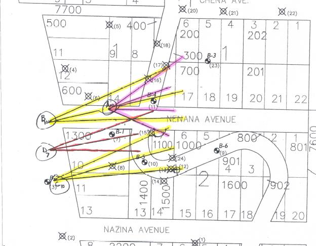
That leaves us with the first counter-balancing factor - reducing the driving force by lowering the water table. City engineers think the most economical and feasible method to accomplish this is to install three (mostly) horizontal drains from each of four different locations. (See diagram.) Three of these locations would originate from the beach with one location further up the hill. The drains would range in length from 150 to 300 feet and would run roughly parallel to the slope of the hill.
We expect acquisition of necessary easements for construction to take several months. Once that occurs, invitations to bid will be sought after which construction would take place. Hopefully, this long-term solution can be in place by the end of the calendar year.
In the meantime, the City will work toward effecting a short-term solution which would involve laying what's known as geotextile fabric over crushed rock. While construction is expected to begin in March, there are three immediate concerns with moving ahead. First, the wet weather in the most recent past which has kept the bank destabilized; the Northwest Natural gas line which needs to be rerouted; and the City's damaged sewer force main which runs from the Matanuska pump station, through the 'S' curves to our main sewage pump station at 2nd and Spruce.
As indicated above, if you're interested in responding to this or any other city subject, you can reach me through my city email address listed above. Thanks for tuning in.
posted by Rich Mays @ 10:53 AM
![]()

<< Home